Rural
15 October, 2023
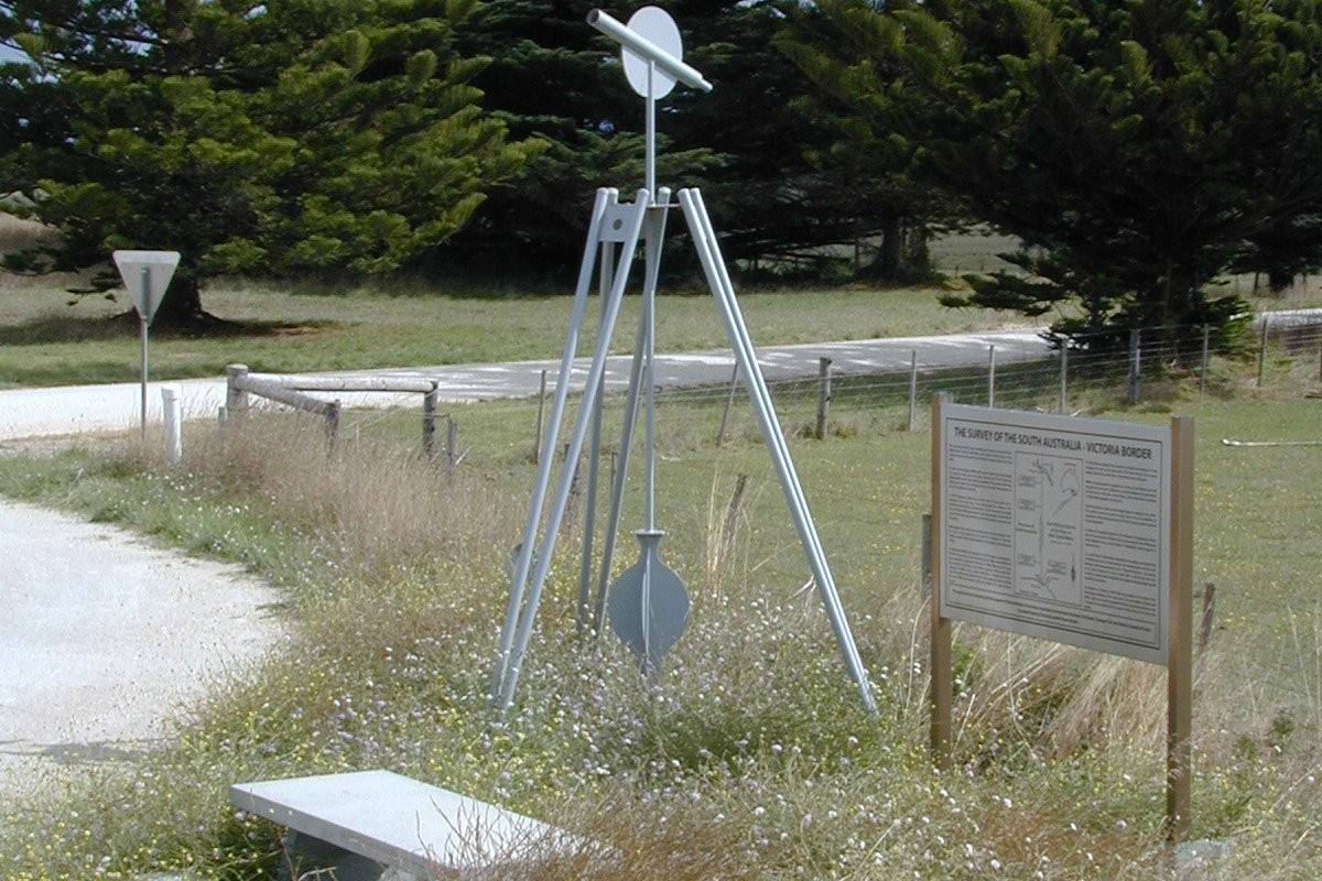
Can we trust the maps we use today?
Bushfires are destructive at the best of times. But one particular blaze in the Big Desert at the beginning of last century continues to pose a headache today... The amazing story of Australia’s first state borders starts in England about 1830...
Bushfires are destructive at the best of times. But one particular blaze in the Big Desert at the beginning of last century continues to pose a headache today...
The amazing story of Australia’s first state borders starts in England about 1830 when Edward Gibbon Wakefield was promoting "free settlement" of South Australia.
Wakefield’s agitation, together with a visit to London by Charles Sturt to publicise his Murray River and Gulf of St Vincent exploits, persuaded the Colonial Office to declare a new province - South Australia.
The boundaries of this new colony looked good on paper but had very little relevance to any actual line on the ground.
An accurate border was needed because squatters were selecting large stations along the Murray River and southern coast.
In 1839 Captain Charles James Tyres was instructed to plot longitude at the mouth of the Glenelg River so distance to the 141st meridian could be measured.
Several months later Tyers completed a survey from Melbourne to the Glenelg River, forming a limestone-rock arrow on the beach. This was known as Tyers’ Mark, the border survey starting point.
Henry Wade from NSW and Edward White from SA began the survey in 1847, three years before Victoria was proclaimed a state.
They proceeded smoothly until reaching the southern edge of the Big Desert where deep sand and lack of water made the survey extremely hazardous. The group decided to return to Adelaide for supplies.
The most northerly point of this survey is called Wade’s Termination Point, an unmarked point about 12 kilometres north of a rest area east of Bordertown.
Two years later Edward White was appointed to continue the line north. Problems with deep sand, lack of water and stock deaths almost cost White and his men their lives.
Only White’s expert bushmanship saved them. Two weeks of travelling by night found them staggering into their favourite camping spot a few kilometres north of what is now the Western-Dukes Highway.
More horrendous problems plagued White the following year when completing the survey. It was mid-winter, but drought not rain caused the drama.
Most wells found the previous year were dry. However, White was determined and conscientious and the border survey of 449 kilometres to the Murray River was finally completed in December, 1850.
It is interesting to note that White died in 1853 at the age of 36 and Wade the following year at 44. One wonders if the privations of this survey cost them their lives.
Within a few years a survey of the new State of Victoria showed the distinct possibility of an error in the border position.
In 1868 a new telegraph line between Sydney and Adelaide provided accurate time signals and determined a more exact position for the 141st meridian.
This proved the border between SA and Victoria was 3.6 kilometres west of the Colonial Office recommendation.
What followed was many years of protest, negotiation, dispute, abuse and bluff, culminating in 1909 with a legal summons by SA on the Government of Victoria, claiming possession of the disputed land, title to the land, all profits and revenue from it.
The matter went first to the High Court then the Privy Council in England, the highest court in the British Empire's legal system, and final judgment in 1914 based on three key points:
1. Wade and White had used the best available technology.
2. The border survey was carried out in good faith with agreement of both parties.
3. The line was considered the border and there was agreement it remain despite any more accurate survey methods.
Clauses recognising these key points were included in state agreements on declaration of other borders. The final judgment - 64 years after the survey completion - should have ended the problem.
However, a bushfire in the Big Desert burnt the wooden marker posts and regrowth meant the cleared survey line was unrecognisable.
Neither state was interested in a new survey. However, by law the original line remained.
Based on work by SA surveyor Jack Kean, the state border is about 600 metres west of a border fence for a considerable length through the Big Desert and Sunset Country.
Does it really matter? Many would say there is very little value in a 600-metres strip of desert - but what if oil were found in that area?
Or if a criminal act was carried out? Could law enforcement be carried out in the wrong state? White’s line has never been officially declared as the border.
Fixing the problem is difficult.
One suggestion is to declare the Vermin-Proof Fence as the border. This is possible but requires approval by the people, states and Federal Parliament. The difficulties and cost would be immense.
Another option is for the Surveyors General of Victoria and SA to agree on the location of White’s Line and officially declare its position.
As Bob Dunn wrote in his book: "To leave almost half of the SA-Victorian border lost and undeclared is an affront to the surveying profession, an insult to the work of Wade
and White and mocks the heritage of Australia’s first surveyed border."
It is interesting to note that research for Bob Dunn’s book, The Disputed Country, has
resulted in the "relocation" of Tyers’ Mark on the beach near the Glenelg River and Wade’s
Termination Point on the southern edge of the Big Desert.
The location of these historical points has not been known for more than 120 years.